| Start | (-33.7907245,151.1560663) |
| Mode | Bus Car (A park entry fee is required for driving into the park.) |
| Directions | From Delhi Road Offramp
|
| Turn map | Directions & comments |
|---|---|
 |
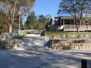
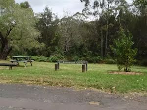
 Two free electric BBQs hotplates in sheltered picnic area. The BBQ table is 92cm high, 2.05m wide and 75cm deep. Hot plates are 45/45cm.
|
 |
|
 |
|
 |
|
 |
|
 |
|
 |
|
 |
|
 |
|
 |
|
 |
|
 |
|
 |
|
 |
|
 |
|
 |
|
 |
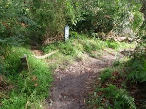
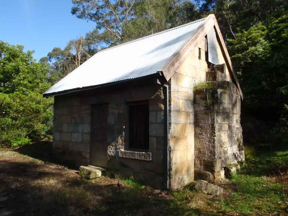
The starting point of an optional sidetrip. An optional side trip to Baker's Cottage. To start this optional side trip turn around here. On returning from this side trip turn right when you get back to this intersection. Details below.
|
 |
|
 |
|
 |
|
 |
|
 |

|
|
Class 3/6 Moderate track |
|---|---|
| Length | 4.2 km |
| Time | 1 h 30 min to 3 h |
| Quality of track | Formed track, with some branches and other obstacles (3/6) |
| Gradient | Short steep hills (3/6) |
| Signage | Directional signs along the way (3/6) |
| Infrastructure | Limited facilities, not all cliffs are fenced (3/6) |
| Experience Required | No experience required (1/6) |
| Weather | Weather generally has little impact on safety (1/6) |
| Item | From Start | Name & link to notes |
|---|---|---|
Toilet
| 3.1 km | [toilet] |
Shelter
| 3.2 km | [shelter] |
Toilet
| 3.3 km | [toilet] |
Toilet
| 3.6 km | [toilet] |
Toilet
| 4.1 km | [toilet] |